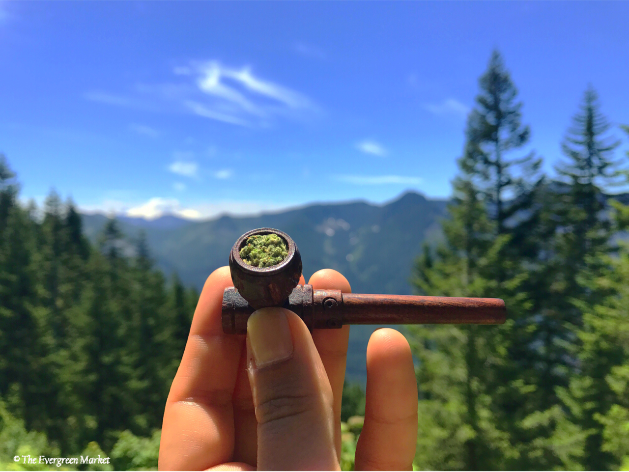
Take a Hike!

Whether you are a native Washingtonian or a transplant, it is undeniable; if you love the outdoors there are no shortages of adventures to take and trails to explore in the Pacific Northwest. Course we couldn’t name them all, and who would want us to? Sometimes it’s nice to keep a trail secret to enjoy it in its absolute peace that only a hidden gem can be. But for some of the more well known and beautiful escapes around the Seattle area, here are our top 10 picks to enjoy this summer! Grab your favorite treats and head for hills!
Not far from Snoqualmie Pass, just 20 miles past North Bend is a hiking mecca! With so many well-known and unknown trails, however much human contact you want is your choice. We recommend using WTA.org or the AllTrails App to get information about length and difficulty of trails as well as directions. A favorite part is the hiker’s forum allowing others to post comments if they just completed or attempted a hike, giving others some tips for current conditions. This comes in handy for trekking out after winter when it is unknown how much snow is still left on trails.
Always remember to pack enough water.
Pack in what you pack out!
You will also probably need a Discover Pass if you are going into a state park. If you plan on hiking more than 3 times in one year it will be most cost-efficient to get a yearly pass when you renew your car tabs, for only $30, versus $10 every time you park- but otherwise bring cash on your hike to pay at the parking lot!

The view from the top of Bandera Mountain to down below Mason Lake.
- Ira Spring Trail We loved this trail because it really does have it all! Not only is it 6.5 in length and has a 2400 ft. elevation climb, but you get beautiful views of Mt. Rainer in the distance. Bandera Mountain is the viewpoint to get to, but after you make it to the top, you can head back down and go another half mile on the other trail towards the lake! Well worth it after getting to the top, Mason Lake provides a spot to cool off and enjoy some zen. Take in the serene landscape while taking a dip!

- Twin Falls A very easy trail to hike, we did it with @imcannabess to get photos for our interview and blog with the cannabis superstar. This trail is perfect if you are just getting back into hiking. It is incredibly short, only 2.6 miles round trip, and allows many hideaway spots if you are looking for some privacy and seclusion in the forest. There is a great viewpoint to enjoy the scenery of the falls from above, but the real beauty lies on the banks of the river where you can find yourself a peaceful spot for lunch, with sun rays beaming down through canopies of leaves. Great photo opts here! We suggest going in the afternoon when the crowds are returning to their cars and you can enjoy the best lighting.

Enjoy epic views and sweet birds as you relax at the top of Mount Si with your lunch! - Mount Si WOW, beautiful and difficult. An 8 mile round-trip hike, the elevation is a 3100 ft gain, that is felt the most in the last mile of the hike. This trail starts off with a pretty easy incline and switchbacks, surrounding you with incredibly large trees as you ascend. Remember, this used to be home to the logging industry before the land was placed under conservation in 1977. You won’t feel much of the elevation gain until halfway through the trail, as the end is the most difficult, with the last mile or so leaving you huffing and puffing; but the view is well worth it! Birds, mountaintops and clouds only add to the feeling you are on top of the world when you arrive. This trail is known to be a training ground for those doing Mount Rainer, so you may see lots of solo hikers with large bags practicing. Supposedly if you can reach the top in under two hours you are good to go for Rainer!

- Rattlesnake Ridge A favorite for its relatively short length (only 4 miles round-trip) and lack of incline at less than 1200 ft; the epic views of Mount Washington and Mt Si make for a great photographs when you get to the top. The incline is nice and steady, without being too difficult, allowing for this to be a family friendly hike. The view at the top may make you feel a little worrisome because it’s pretty rocky, but well worth the fear. Lots of wildlife to see like the plethora of chipmunks that are not afraid of their daily visitors.

- Mount Washington (this one is hard!) When I did this hike this past winter, it was the one that kicked my butt most brutally. One of the most challenging hikes I have done, the panoramic view from the top is well worth the 8.5 miles total roundtrip. Pack some goodies to enjoy at the top, like refreshments & snacks. The end is as usual, most challenging, but the crazy deep forests will have your eyes tripping in a good way!

- Lake 22 It’s 5.4 miles and a pretty steady incline on the way up. There are areas of rocks that you have to walk through. It can get pretty difficult at times especially with the heat. Most of the trail is shaded though and the end will leave you speechless as you observe the deep reflections of leftover snow on the water (if you go in the summer!).
- Franklin Falls A well known and easy hike right below Snoqualmie Pass, it’s ideal if you don’t want to trek too far or on a hard incline, this one won’t leave you panting and there is plenty of fun to be had exploring the river under the falls and surrounding areas. The view at the end of the falls is incredible, winter or summer! Pro Tip: Be careful in the winter and spring when the snow and ice start to melt, crazy deep cracks can start to form leaving you nervous for others being dangerous and playing too close to the edge.

- Three Burroughs This hike is pretty difficult. You will want to make sure you have enough water and snacks to keep you hydrated and well-fueled for this special journey.
It is absolutely beautiful at the top. On an extremely clear day you will be able to see Mt. Baker on the other side of the state as well as the mountain ranges behind her. The end view has two large openings on each side of Mt. Rainier that were cut out by glaciers millions of years ago. You can even spot a mountain goat or two if you keep your eyes open at the top! The air is extremely crisp and clean, so you have to do this one!
“Being up there really puts things into perspective, we are really tiny…and have not been here that long. It’s an awesome feeling.” -Vaughn, Educator at The Evergreen Market
Pro Tip: Go a little further to find a fourth burrough that opens over an old glacier. It’s a gorgeous site!

- Mailbox Peak An iconic Washington State hike, and one of the most intense hikes around the state. It’s pretty steep the whole way up, leaving you scrambling over rocks at the top. Coming down can be pretty rough on your knees but the view at the top is worth it (on a clear day). Bring a sharpie to put your mark on the mailbox and maybe a momento to leave for other hikers. Make sure to pack a lunch to enjoy at the top; the hike is exhausting and you will wanting to relax and recoup at the top for a bit before heading back down. But it’s a must do for Washington hikers! There are two trails you can choose from. Old or new. The new one is much longer, more cut backs, but a bit casual for my taste. The old trail is about 5 miles round trip but it’s a 4000 ft elevation gain, so it’s a challenge. There are funny mile markers with graffiti from people who gave up along the way. At the top is a literal mailbox to either take things out or leave things in for other hikers. Small note: old trail is mostly not maintained. Lots of hazards, not for the rookie hiker.

- Poo Poo Point Last but certainly not least! If you can’t afford the time or ability to get out of the city, here is a beautiful gem nestled inside the city of Issaquah. Poo Poo Point is known to many hand gliders as a spot to take off and land below where the hand gliders association club is located. The weekends can get a little busy since many people know about this trail, but we love the local views and epic forest, without having to trek too far to find this beauty.

Can’t get away?
Read our Blog about 10 Activities to Enjoy Baked!

Remember,
Your Journey Starts Here.
Want to see our Menu? Order Online and Pick up at the Express Window

Subscribe for more Evergreen Market updates